Subject: Social Studies
Lesson Length: 1 - 2 hours
Topic: Benefits of Maps
Grade Level: 6, 7, 8
Standards / Framework:
Brief Description: Students will explore maps and learn to illustrate a map or an image of a location, as well as identify the environmental characteristics.
Know Before You Start: Students should be familiar with basic geographical concepts such as latitude and longitude, continents, oceans, countries, states or provinces, and major geographical features like rivers, mountains, and deserts.
Hook:
- Ask students:
- "Have you ever looked at a map and wondered what makes one place different from another?”
- "What environmental characteristics do you think can vary from one location to another?"
- “How do maps help us understand the world around us?”
Activity:
- Have students explore different types of maps and how they help us understand the world by watching the video on maps by Crash Course.
- In pairs or small groups, have students participate in a map scavenger hunt where they will use both a world map and a United States map to find and identify various cities, countries, and major landforms found on the Scavenger Hunt list worksheet.
- Have students use a world map to select and locate two specific global locations, then describe the environmental characteristics of these chosen locations, including factors such as climate, geographical features, bodies of water, and vegetation.
- For Example: Cairo, Egypt
- is located in the northeastern part of Africa, near the Mediterranean Sea.
- is situated along the banks of the Nile River, one of the world's longest rivers.
- appears to have a hot desert climate, as it is surrounded by the vast Sahara Desert to the west and south.
- is marked with a star on the map to indicate its capital city status within Egypt.
- For Example: Cairo, Egypt
- Have students select one of the two locations identified in the previous activity and research its environmental characteristics including climate, geographical features, bodies of water, and vegetation.
- Have students create an illustrated map or image of the chosen location, with a concise caption describing the key environmental features depicted in their illustration. When completed, have students share their work, explaining the environmental aspects of their chosen location to the class.
- Have students create a comic in which they illustrate a map or an image of a location and use captions to identify the environmental characteristics.
Closure:
- Have students share their comics with the class or in small groups.
- Emphasize how visual representations help us convey information about the world around us.
Differentiation:
- Allow students to use the speech-to-text feature.
- Allow students to work in pairs or groups as needed.
- Allow students to use the voiceover feature to read their comics aloud.
- Allow students to use the closed-caption feature while watching the video.
- Pre-teach vocabulary terms or provide definitions, e.g., environmental characteristics, latitude and longitude, continents, oceans, countries, states or provinces and major geographical features, e.g., rivers, mountains, and deserts.
Resources:
- Comic to print or display: Comic.
- Video: What is a Map? - Crash Course Geography #2
- Scavenger Hunt List
- World Map
- United States Map
- Drawing Materials, e.g., paper, markers, rulers, colored pencils, etc.
- GALE (Open Access through Local Library)
Suggested Content:
 National Parks
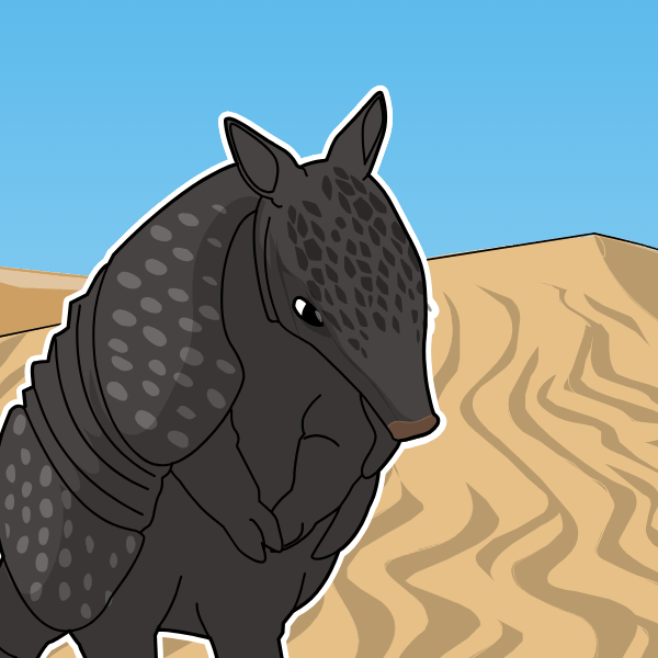 Desert
 Rainforest
.png) Volcano
Volcano